
Marion Creek west of Columbia Lake
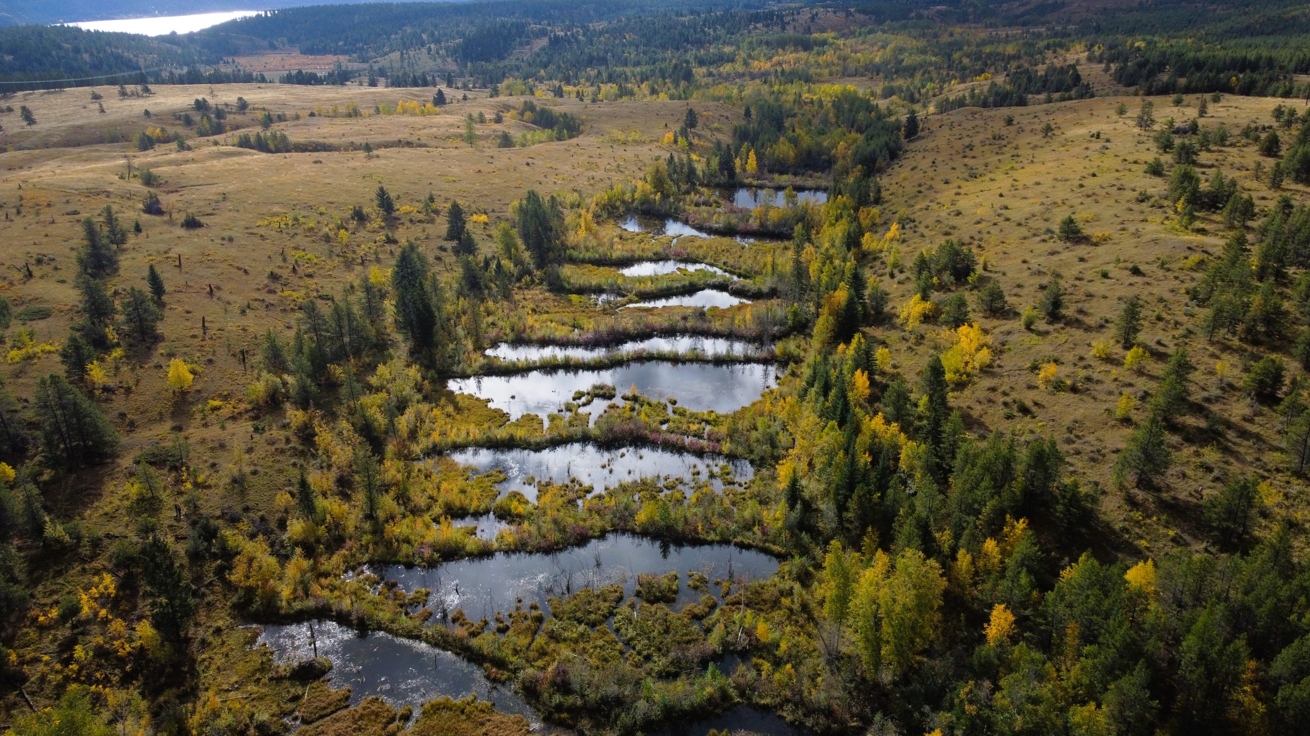
Marion Creek beaver-created wetland complex
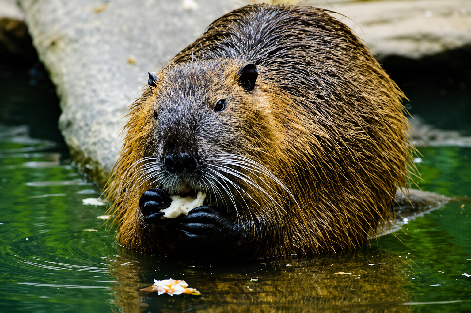
ʔa·k̓aq̓ⱡaʔhaⱡ | beaver
Columbia Lake Ecological Corridor | Features | Marion Creek Beavers and the Four Amigos
On the western benchlands above Columbia Lake, beavers are helping demonstrate the value of working with natural systems. Water flows have been significantly altered for irrigation, while drier conditions under climate change have increased the landscape’s vulnerability to drought.
Field research by the Columbia Wetlands Stewardship Partners found 24 active beaver dams maintaining a connected series of ponds in the upper reaches of Marion Creek, holding approximately 33,447 m³ of water on the landscape. Active beaver dams maintain a connected series of ponds in the upper reaches of Marion Creek, creating open water and wetland habitat, moderating water temperatures for west slope cutthroat trout, and providing a dependable source of water downstream.
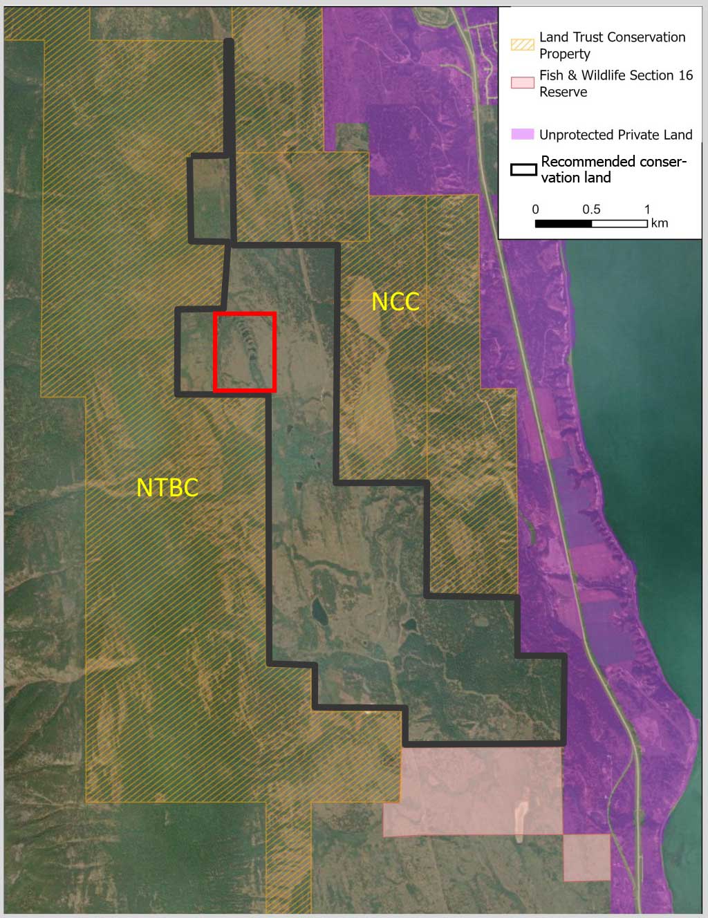
Over the past several decades, water flows have been significantly altered to provide irrigation for agricultural on the Marion Bench uplands on the west side of Columbia Lake. These modifications combined with drier conditions under climate change have increased the vulnerability of this landscape to drought. According to field research by the Columbia Wetlands Stewardship Partners, wetlands west of Columbia Lake have greater moisture deficit than the upland benchlands further north and a higher potential for wetlands vulnerable to climate change. They found 24 active beaver dams are maintaining a connected series of ponds in the upper reaches of Marion Creek and holding approximately 33,447 m3 of water on the landscape (red inset and pictured below, left).
These beaver ponds on the upper bench (red inset), are especially important for maintaining open water and wetland habitat, moderating water temperature for westslope cutthroat trout, and providing a dependable source of water downstream.
This beaver-maintained wetland complex is in an area surrounded by conservation lands owned and managed by The Nature Trust of BC to the west and the Nature Conservancy of Canada to the east. In all, over 2800 ha of private land is conserved between Findlay and Dutch Creeks. Yet, the beavers ponds themselves are located on unprotected public land that largely has no zoning by the Regional District, outlined here in black. The area, known as the Three Amigos to the Ecosystem Restoration Program, has been the focus of ER planning. However, more action and including First Nations as the fourth amigo is needed.
Beyond these ponds, the area supports a mosaic of grassland, open forests and wetlands. The beaver ponds and wetlands hold water, slowly releasing it into the Marion Creek system, providing resilience to climate change. We recommend the provincial government manage the area outlined in black alongside ʔakisq̓nuk FN and both land trusts in a manner that maintains landscape-level hydrology and habitat. Options include expanding the Section 16 Reserve notation nearby be expanded to include the lands between the NTBC and NCC parcels or designating it as a Wildlife Management Area.
Sources and Further Reading:
- Green, K.C. and C.J. Westbrook. 2009. Changes in riparian area structure, channel hydraulics, and sediment yield following loss of beaver dams. BC Journal of Ecosystems and Management 10:68–79. DOI: 10.22230/jem.2009v10n1a412
- Levens, C., R. Haubrich and S. Bayley. 2025. Kootenay Connect: 6CW Columbia Wetlands: Wetlands West of Columbia Lake. Year 6. Report to Environment and Climate Change Canada and Columbia Basin Trust.